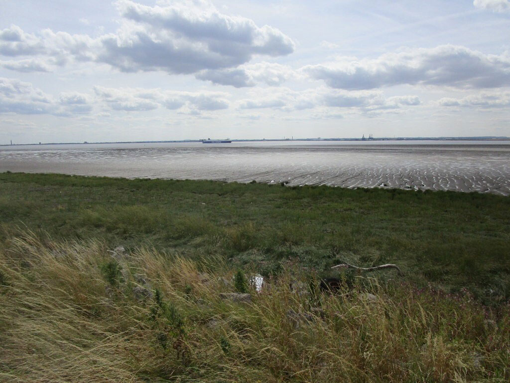
The Humber Estuary off Sunk Island, ©Jonathan Thacker (licensed for re-use under CC BY-SA 2.0 Creative Commons License
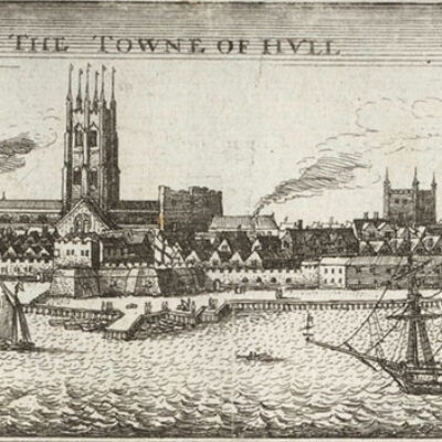
Stewart Mottram, Professor of Literature and Environment at the University of Hull, explores some of the writers, including Andrew Marvell, Philip Larkin, and Hubert Nicholson, who have found inspiration along the shores of the Humber Estuary.
The broad sweep of the Humber Estuary is reimagined in Philip Larkin’s poem, ‘Here’ (1964), which describes ‘swerving to solitude’ east beyond Hull to the ‘Isolate villages’ and ‘neglected waters’ of Holderness. ‘The widening river’s slow presence’ shapes the lines and landscape of Larkin’s poem, and Larkin is only one of several writers who have found inspiration along the Humber’s shores.
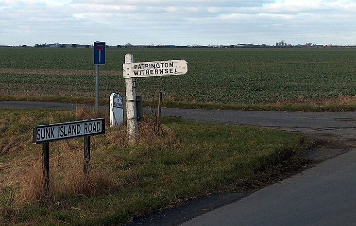
Our subject in this blog is Sunk Island, a parish of some 7500 acres bordered by the Humber Estuary to the south and surrounded to the north by a narrow channel, or drain, that separates the parish from the nearby villages of Ottringham and Patrington. The ‘North Channel Drain’, which runs beneath the bridge near Shrubbery Farm on the main Sunk Island Road from Ottringham, is all that remains of a channel that 400 years ago had been 1.5 miles wide.
Sunk Island – like nearby Spurn Point – owes its existence to the Humber’s shifting sediments and currents, which over centuries has carried material washed from the Holderness cliffs into the Humber Estuary. Today’s Sunk Island first rose up from the Humber in the late sixteenth century and by the reign of Charles I (died 1649) it was a sand bank of about 7 acres. It was claimed as crown property and leased to Colonel Anthony Gilby (died 1682) on the understanding that Gilby would reclaim at least 100 acres of ‘drowned land’ within the first ten years of the lease. Over time, Gilby and his descendants progressively embanked and drained the land so that by 1850 some 5000 acres had been reclaimed from the sea for farming.
The Hull poet and politician, Andrew Marvell (1621-78), describes the arduous process of claiming ‘new-catched miles’ from the sea in his poem, ‘The Character of Holland’ (1653). The poem, written during the first Anglo-Dutch War (1652-54), seems on the surface to poke fun at the Dutch and their battles with the ‘barking waves’, but much of Marvell’s attack in the poem on Dutch efforts to reclaim land reflects back on the similar practices then underway in the Humber Estuary and elsewhere in eastern England during Marvell’s lifetime.

Marvell was born some three miles north of where Sunk Island village now stands, at the rectory in nearby Winestead in 1621. But in 1621, Winestead was much closer to the Estuary than it is today, and when Marvell was a boy, Sunk Island was only a sand bank visible at low tide. When Marvell returned to the area in 1674, to take part in a survey of the river Humber, he would have seen Gilby’s work to reclaim ‘the new-catched miles’ from the sea at Sunk Island for himself.
But Marvell’s focus on the ‘barking waves [that] bait the forced ground’ also reminds us that land reclaimed from the sea is, then and now, acutely vulnerable to flooding. The medieval hamlets of Frismarsh and Tharlesthorpe lay somewhere in the region of the later Sunk Island, but were abandoned in the fourteenth century in the face of flooding from the Humber. The Hull journalist, poet, and novelist, Hubert Nicholson (1908-96) imaginatively recreates the moment this land was washed away in his 1956 novel, Sunk Island:
Men had forgotten in those parts – what some few antiquaries in the cities could have told them – that before the rising there had been a swallowing. Before a sandbank arose in Charles the First’s reign, and grew to a mud-patch, and was grappled with bridges, and dyked and banked till all division disappeared; long before, six hundred years ago, the men who lived on the brim of the Riding saw a great island sink, with living towns aboard it, like some earthen Titanic; a slow catastrophe that left nothing behind it but the enigmatic name.
Hubert Nicholson, Sunk Island, 1956
Nicholson also writes in Sunk Island of the devastating floods of 1953 which saw much of Sunk Island submerged. Although Sunk Island is set at ‘the turn of the century’, in the early 1900s, the novel has its origins in the months following the 1953 floods, which reportedly left some 3,000 acres of farmland in South Holderness and Sunk Island under water (Hull Daily Mail, 2 February 1953). These waters rear up in Chapter 12 of Sunk Island, where we read of waves mounting ‘higher and higher on the earthen dyke’, until ‘a long stretch of the earth bank crumbled like a sand castle, and the wave came down in a cataract to gorge the ditch below’. ‘The water claimed back the once-reclaimed land’, Nicholson writes, just as it had swallowed Frismarsh and Tharlesthorpe some six hundred years before.
Humber communities, including those on Sunk Island, are still vulnerable to flooding, and our work on the Risky Cities project at the University of Hull gathers histories and stories of flooding from Hull and the Humber to help build climate awareness and help communities become more flood resilient, today and for the future. You can watch a short film about the project below and sign up for our mailing list here.